Caminhando - Pico
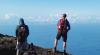
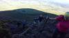
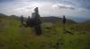
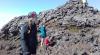
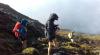
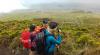
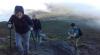
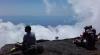
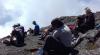
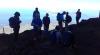
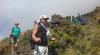
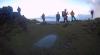
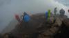
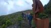
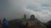
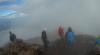
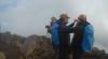
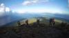
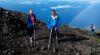
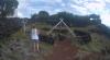
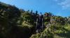
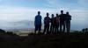
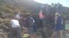
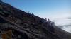
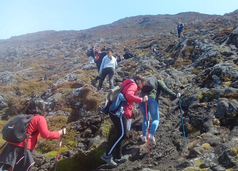
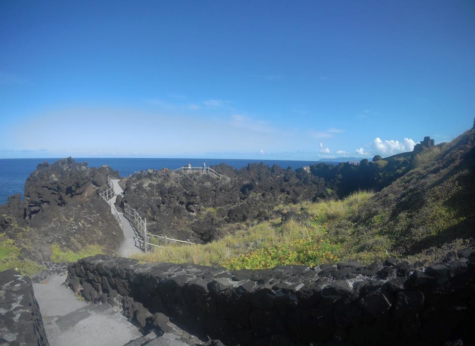
Walking ... Where challenges come true!CAMINHANDO - PICO, is a tourist animation company. They have as main activity, the ascent to the highest point of Portugal, the Pico mountain. Excursions can be made at any time of the year, provided the weather permits. Come live a new challenge. Walking - Pico, is a company with Certified Guides at your disposal to provide you with the best experience. Activities: - Climb to Pico Mountain - Mini bus tours - Footpaths - Exploration of Water Pipes - Cultural tours with wine tasting and pico cheese - Bike - Interpretive tours on the Island - Adapting tours to taste |
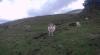
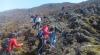
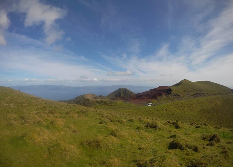
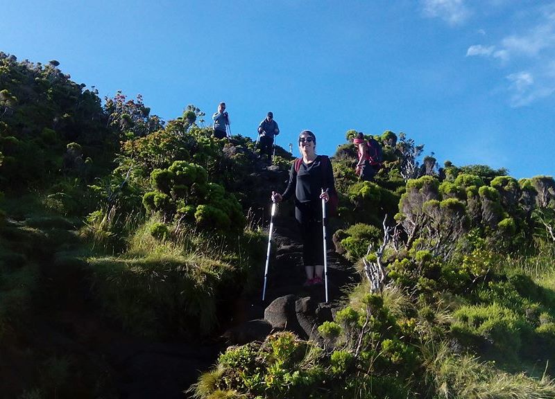
ActivitiesCome and try new challenges! Adventure! Have fun at Pico! |
|
|
|
|
|
|
|
|
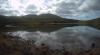
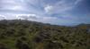
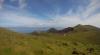
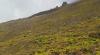
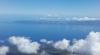
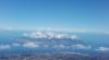
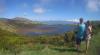
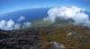
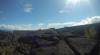
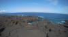
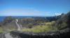
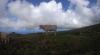
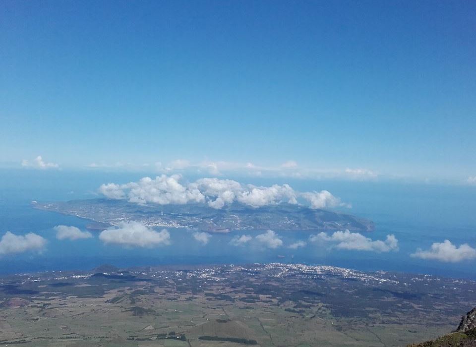
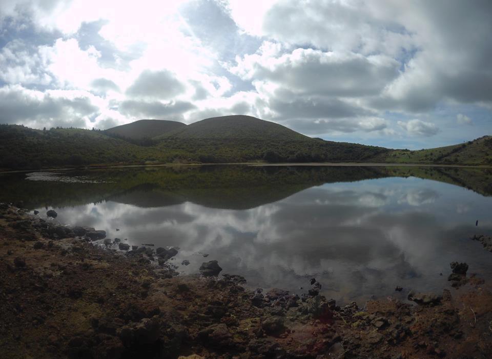
PicoPico Island is the second largest island of the Azores Archipelago in the North Atlantic. It is 8.3 kilometers from Faial Island and 15 kilometers from São Jorge Island. It has a surface of 447 km ²; a coast line with 151.84 km long, a number of 31 islets between large and small. It has a resident population of 14 114 inhabitants (in 2011). It measures 42 km long by 20 km wide. It owes its name to a majestic volcanic mountain, the Peak Mountain, which culminates in a pronounced peak, Peak or Peak. This is the highest mountain in Portugal and the third largest mountain that emerges from the Atlantic, reaching 2,351 meters above sea level. Administratively, the island is made up of three counties: Lajes do Pico and Madalena, both with six parishes, and São Roque do Pico, with five parishes. It has, between the parishes of Santa Luzia and Bandeiras, a modern regional airport with direct air connections with Lisbon (SATA Internacional), Terceira (Lajes) and Ponta Delgada (SATA Air Azores). It has daily sea connections (Transmaçor) with the city of Horta and the villages of Velas and Calheta. During the summer months it enjoys maritime connections with the remaining islands of the archipelago. |
 |
 |
 |
Prices:- On request |
Map (Latitude: 38.508707, Longitude: -28.36426424)